
🧠 Did you know… Virtual Positioning Systems Could Become the Bridge Between GIS, Reality Capture, and Spatial Computing?
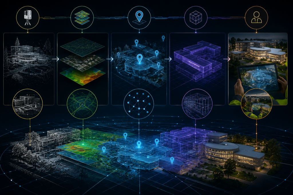
For years, enterprise teams have been building more accurate digital representations of the physical world. GIS helps us understand where assets are located. Reality capture helps us document existing conditions. Digital twins help us model, analyze, and monitor infrastructure. Spatial Computing helps us interact with digital information in context.
But there is still one critical question that determines whether these systems can become truly operational:
👉 Does the digital experience know exactly where it is in the real world?
That is where Virtual Positioning Systems, or VPS, become important. VPS has the potential to reshape how GIS, reality capture, and Spatial Computing come together for enterprise workflows. For AECO, infrastructure, campuses, facilities, utilities, transportation, and smart cities, this could become one of the most important layers in the future of spatially aware field operations.
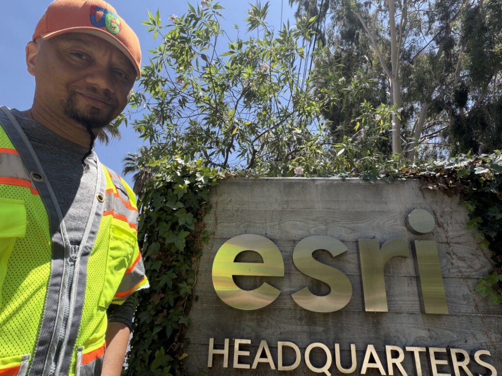
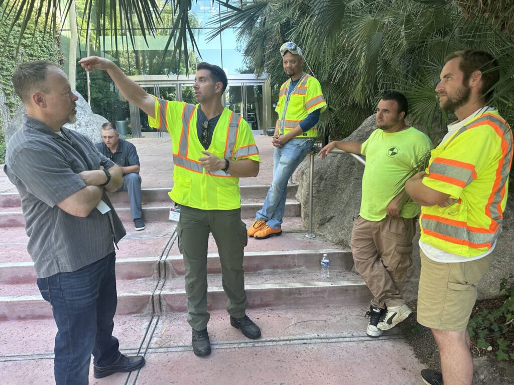
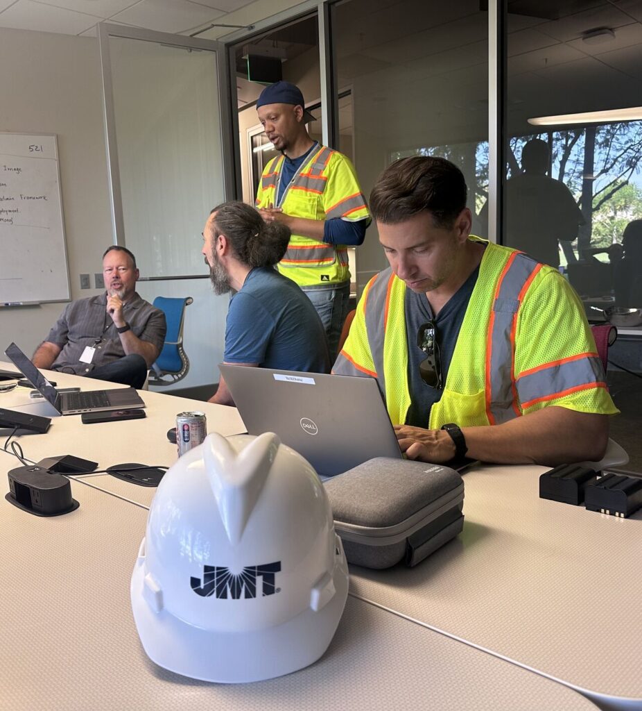
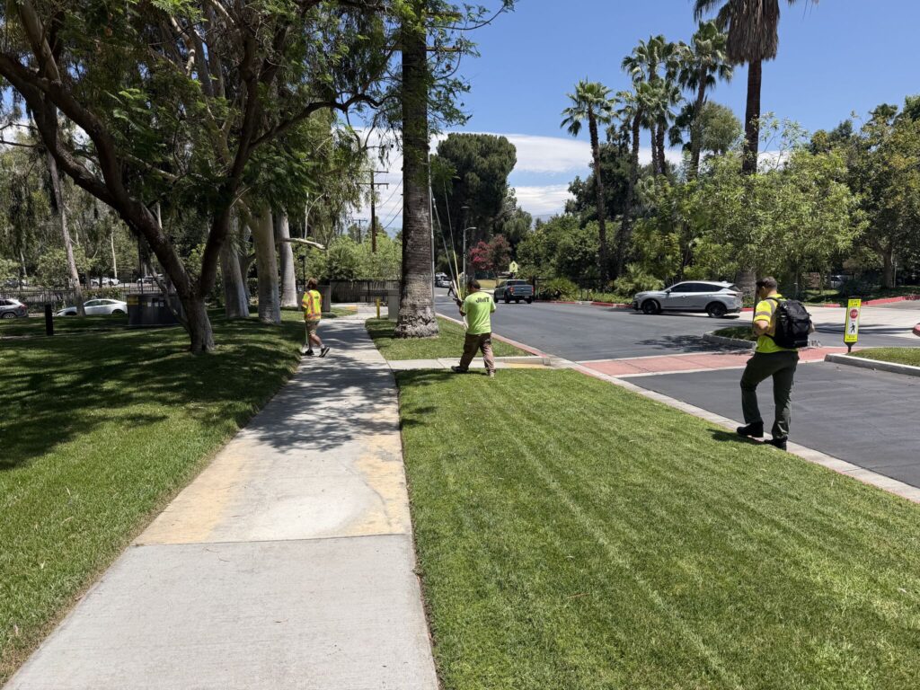
Recently, Johnson, Mirmiran & Thompson and JMT Technology Group collaborated with Esri at their headquarters to support enterprise VPS validation in AEC. Alongside Nick DiPaolo, Maria Martin, James Foster, Nate Reck, Rex Hansen, and Bec Maxworth, we explored how VPS can enable the next generation of spatially aware AECO workflows.
👉 The future of enterprise XR starts with knowing exactly where you are
🔍 What’s Happening?
Enterprise VPS begins with creating an accurate digital understanding of the physical world.
In simple terms, a Virtual Positioning System helps a device understand its position by comparing what it sees in the real world against a previously captured and processed digital representation of that environment. Instead of relying only on GPS, QR codes, manual alignment, or rough location estimates, VPS can use visual features, spatial data, reality capture, mapping, and localization techniques to determine where the user or device is within a real environment.
That distinction matters.
GPS is powerful outdoors, but it often struggles with precision, indoor environments, dense urban areas, complex campuses, and places where asset-level context matters. In AECO workflows, “near the building” is not enough. Teams may need to know which corridor, room, floor, equipment area, inspection zone, station platform, utility corridor, or construction sequence they are standing in.
During this work, the focus was not simply on scanning an environment. The goal was to support the foundation for future enterprise spatial workflows through:
🔹 Enterprise reality capture
🔹 High-precision SLAM and LiDAR scanning
🔹 VPS validation across a complex campus
🔹 Spatial alignment of real-world environments
🔹 Future GIS-connected field workflows
This creates a foundation for:
✅ Accurate localization
✅ Persistent spatial content
✅ Real-world digital context
✅ Field-ready digital twin alignment
✅ Spatially aware enterprise applications
The key idea is that VPS can help connect the physical environment to the digital systems organizations already depend on.
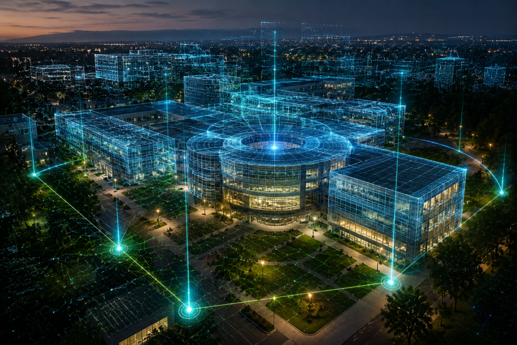
GIS provides geographic intelligence. Reality capture provides measured spatial documentation. Digital twins provide operational representations of assets and systems. Spatial Computing provides the interface layer that allows people to engage with that information in context. VPS can become the connective tissue.
👉 VPS creates the bridge between digital twins and the physical world.
🏗️ Why This Matters for AECO
For AECO, positioning goes far beyond GPS. Architecture, engineering, construction, and operations teams work in environments where location has deep operational meaning. A field worker standing ten feet to the left or right may be looking at a different asset, a different design condition, a different safety concern, a different installation sequence, or a different maintenance requirement.
👉That is why spatial accuracy matters.
As GIS, reality capture, and Spatial Computing converge, AECO teams can begin to imagine workflows where project information is not just stored in drawings, models, maps, or dashboards. Instead, that information can be accessed in the physical place where the work is happening.
That can support use cases such as:
✅ Navigating complex sites
✅ Accessing contextual project information in the field
✅ Aligning digital twins to physical infrastructure
✅ Supporting inspections and condition assessments
✅ Improving design review and stakeholder coordination
✅ Connecting BIM, GIS, and reality capture in real-world context
✅ Enabling persistent AR content tied to actual assets
This is especially important because AECO environments are rarely simple. A transportation hub may include civil infrastructure, vertical architecture, utilities, platforms, signage, safety systems, pedestrian flows, environmental constraints, and phased construction. A campus may include buildings, interiors, exterior assets, underground utilities, landscape features, and operational zones. A facility may include equipment, maintenance routes, safety areas, and constantly changing conditions.
In these environments, context is becoming just as important as content.
🔹 It is not enough to have the right model.
🔹 It is not enough to have the right map.
🔹 It is not enough to have the right scan.
The next step is making sure the right information appears in the right place, at the right time, for the right user. That is where VPS can help move Spatial Computing from impressive visualization into practical field infrastructure.
👉 Context is becoming just as important as content
🌍 The Bigger Pattern
We are watching several technologies mature at the same time:
🔹 Reality Capture
🔹 GIS
🔹 Digital Twins
🔹 Virtual Positioning Systems
🔹 Spatial Computing
🔹 AI-assisted spatial workflows
Individually, each of these technologies is powerful. Together, they point toward a much larger shift in how people will interact with infrastructure.
Reality capture has already changed how teams document the physical world. LiDAR, photogrammetry, SLAM, 360 capture, and mobile mapping have made it possible to create increasingly accurate digital records of real environments.
GIS has long provided the spatial intelligence layer for understanding geography, infrastructure, assets, networks, and relationships across space.
Digital twins are helping organizations model, simulate, monitor, and manage physical systems over time.
Spatial Computing adds a new interface layer, allowing people to interact with digital information in relation to the physical world around them.
But without accurate positioning and alignment, those systems remain partially disconnected. That is why VPS matters. VPS can help answer one of the most important questions in enterprise Spatial Computing: Where should this digital information exist in the real world?
That question becomes increasingly important as devices evolve from phones and tablets to headsets, smart glasses, robotics, drones, and AI-enabled field assistants. A future field worker may not open a traditional app to search for information. Instead, spatially anchored information could appear in context:
🔹 Asset records near equipment
🔹 Maintenance instructions near mechanical systems
🔹 Construction sequencing overlaid on work zones
🔹 Underground utility context aligned to the site
🔹 Inspection notes anchored to physical conditions
🔹 Safety alerts tied to real-world locations
🔹 Digital twin data visible in the environment itself
This is the bigger pattern:
👉 The future of enterprise Spatial Computing will not be built only on virtual worlds. It will be anchored to the real one.
🛠 Real-World Applications
The practical value of VPS becomes clear when you think about enterprise environments where precision, context, and repeatability matter.
🏗️ AECO and Construction
Construction teams could use VPS to align design intent with existing conditions in the field. Instead of manually comparing drawings, BIM models, photos, and site notes, teams could eventually access spatially aligned project information where the work is occurring.
Potential use cases include:
🔹 Field layout validation
🔹 Design coordination
🔹 Construction progress documentation
🔹 Issue tracking
🔹 Safety planning
🔹 As-built verification
🔹 Stakeholder walkthroughs
🌐 GIS and Infrastructure
GIS teams could use VPS to move beyond map-based interaction and into field-based spatial context. Infrastructure assets could become easier to locate, inspect, and understand in relation to their real-world surroundings.
Potential use cases include:
🔹 Transportation asset management
🔹 Campus mapping
🔹 Utility coordination
🔹 Public works inspections
🔹 Environmental monitoring
🔹 Smart city infrastructure
🏭 Industrial Facilities
In industrial environments, accurate localization can support maintenance, safety, training, and operations. Complex facilities often contain dense equipment layouts, safety zones, restricted areas, and critical operational procedures.
VPS could help connect digital procedures, asset records, and spatial warnings to the physical location where they matter.
🏥 Healthcare and Campuses
Large campuses such as hospitals, universities, airports, and corporate headquarters can be difficult to navigate and manage. VPS could support indoor navigation, facility operations, emergency response, and contextual information access across complex environments.
🚧 Transportation and Mobility
Transportation systems are spatially complex by nature. Stations, corridors, platforms, signals, bridges, tunnels, pedestrian zones, and roadway assets all require accurate spatial understanding. VPS could help connect planning, inspection, operations, and public communication workflows.
🤖 Robotics and Autonomous Systems
VPS is not only relevant to human users. Robots, drones, and autonomous systems also need to understand where they are in relation to physical environments. As robotics becomes more integrated with infrastructure and facility operations, spatial localization will become even more important. The shared theme across all of these applications is simple:
👉 The more complex the environment, the more valuable accurate spatial understanding becomes.
💡 Immersioneer POV:
VPS is not just a localization technology. It is a trust layer for enterprise Spatial Computing.
That may sound like a small distinction, but it is important. In consumer AR, a slightly misaligned experience can be inconvenient. In enterprise AECO workflows, misalignment can reduce confidence, create confusion, or make the experience unusable for serious field applications.
🔹If a digital overlay does not appear where it belongs, teams will not trust it.
🔹If a spatial instruction is not tied to the correct asset, it cannot support operations.
🔹If a digital twin cannot align to the real-world condition, it remains more of a reference model than a field-ready workflow.
This is why VPS matters so much.
✅ Reality capture documents the physical world.
✅ GIS organizes spatial intelligence.
✅ Digital twins represent assets and systems.
✅ Spatial Computing creates the interface.
✅ VPS helps align that interface to reality.
That alignment is what can move Spatial Computing beyond visualization and into operational infrastructure. One of the most rewarding parts of this engagement was connecting AECO, GIS, reality capture, and Virtual Positioning Systems into one enterprise workflow conversation. This was not simply about scanning an environment. It was about building the spatial foundation for future field workflows. I am looking forward to returning once the data is processed to validate real-world AECO use cases.
👉 This is where Spatial Computing moves beyond visualization and becomes operational infrastructure.
🧭 Immersioneer Takeaway
VPS may become the spatial alignment layer that allows GIS, reality capture, and digital twins to move from documentation systems into real-time operational workflows. For enterprise Spatial Computing to scale, digital content must be accurate, persistent, contextual, and trusted. VPS helps make that possible.
🚀 What’s Next?
Over the next 2–5 years, VPS will likely become increasingly important as enterprise Spatial Computing moves from demos to deployment.
Several trends will accelerate this shift.
🔹First, reality capture is becoming faster and more accessible. Mobile LiDAR, SLAM-based scanning, photogrammetry, drone capture, and automated reconstruction pipelines are making it easier to build spatial datasets of real environments.
🔹Second, GIS and digital twin platforms are becoming more connected. Organizations want spatial data that supports planning, design, construction, operations, maintenance, and long-term asset management.
🔹Third, AI will make spatial data more useful. As AI systems become better at interpreting images, scans, maps, models, and sensor data, the value of accurately localized spatial context will increase.
🔹Fourth, devices are changing. Phones and tablets are already spatial tools, but headsets, smart glasses, drones, robots, and wearable systems will need more precise awareness of the physical world. That is where VPS can become foundational.
In the near term, we may see VPS used for validation, navigation, digital twin alignment, field documentation, and spatial content placement. In the longer term, VPS could become part of the invisible infrastructure behind enterprise Spatial Computing. Users may not think about the localization layer at all. They will simply expect spatial information to appear correctly in the world around them.
👉 That is when the technology becomes truly powerful. The future of enterprise Spatial Computing will not be built on virtual worlds alone. It will be anchored to the real one.
📚 Key Takeaways
🔹 Virtual Positioning Systems can help devices understand where they are in the real world with greater spatial context than GPS alone.
🔹 VPS can connect GIS, reality capture, digital twins, and Spatial Computing into more practical enterprise workflows.
🔹 For AECO, accurate localization is critical because field context determines how useful digital information becomes.
🔹 Reality capture documents the world, GIS organizes it, digital twins represent it, and VPS can help align it to real-world interaction.
🔹 The biggest opportunity for VPS may be turning Spatial Computing from a visualization layer into operational infrastructure.
🔹 The future of enterprise XR starts with knowing exactly where you are.
💬 Continue the Conversation
Reality capture and GIS have transformed how we document the physical world. VPS has the potential to transform how we interact with it. Where do you see the greatest opportunity for enterprise VPS?
🏗️ Construction
🌐 GIS
🚧 Infrastructure
🏭 Industrial Facilities
🏙️ Smart Cities
🤖 Robotics
🥽 Enterprise XR
Continue the conversation in the comments or connect with me on LinkedIn as I continue documenting the future of Spatial Computing, Digital Twins, GIS, Reality Capture, and enterprise XR.
🚀 The future of enterprise Spatial Computing won’t be built on virtual worlds alone. It will be anchored to the real one.